
Drone Survey Applications
- Home
- /
- Drone Survey Applications
Need Aerial Survey Data?
Tell us about your site and we will recommend the right drone survey approach.
Accurate Aerial Data for Mapping, Planning & Site Analysis
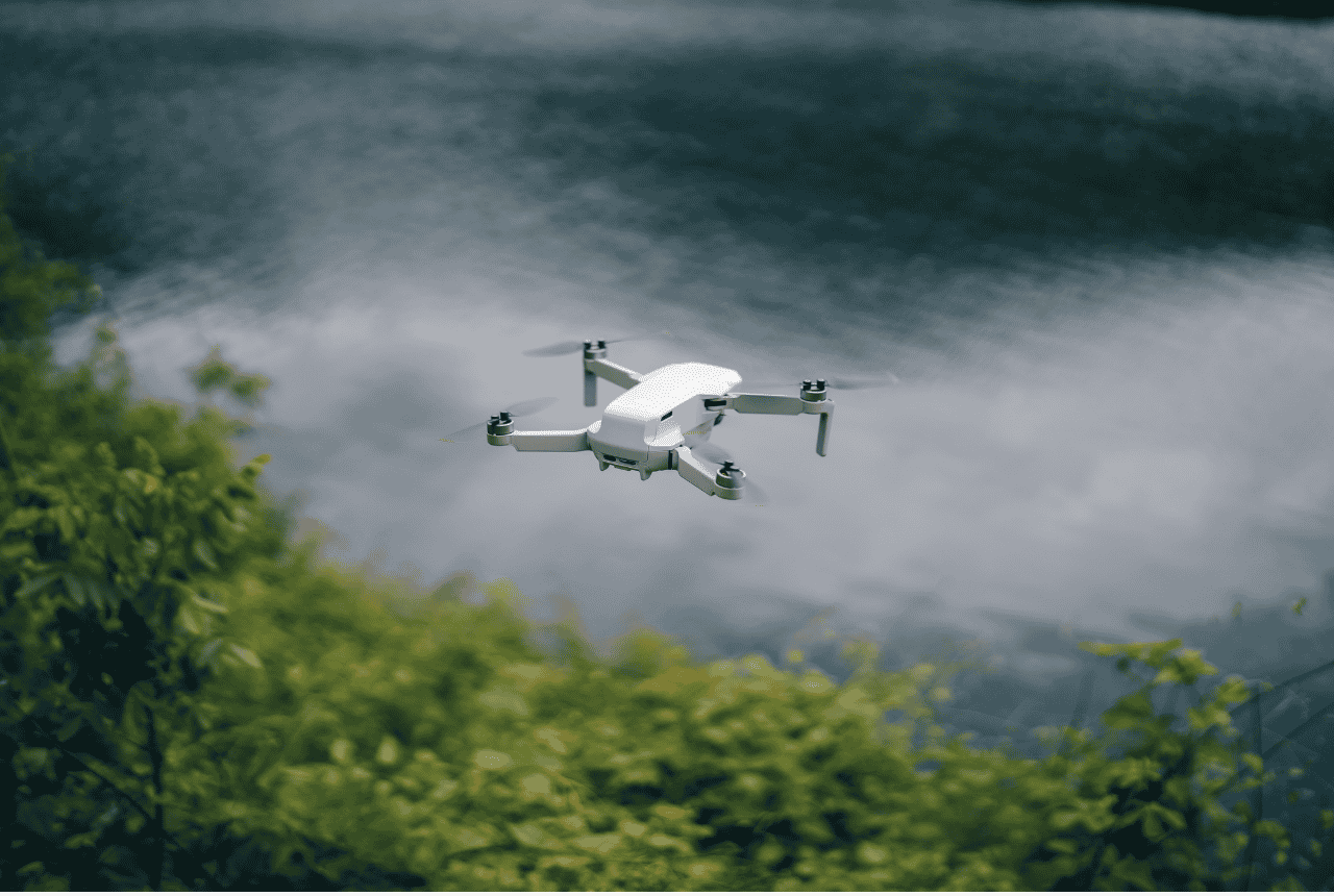
AsProLine LLC provides professional drone survey applications for fast, efficient and high-resolution aerial data capture across large or difficult-to-access sites.
Using RTK drone technology, we capture detailed aerial imagery and spatial data for mapping, documentation and project analysis.
Drone surveying is especially useful for large areas where traditional field methods may take more time or where an aerial perspective provides better project visibility.
What We Provide
- RTK aerial surveying
- High-resolution aerial imagery
- Orthophoto generation
- Site and progress documentation
- Photogrammetry data capture
- Large-area mapping support
Why Accurate Surveying Matters
Drone surveys can cover large areas quickly, improve site visibility and provide accurate aerial information for planning, monitoring and mapping workflows.