Scan to BIM / MEP / CAD
- Home
- /
- Scan to BIM / MEP / CAD
Need Accurate Digital Documentation?
Send us your project requirements and we will help define the right scan-to-model workflow.
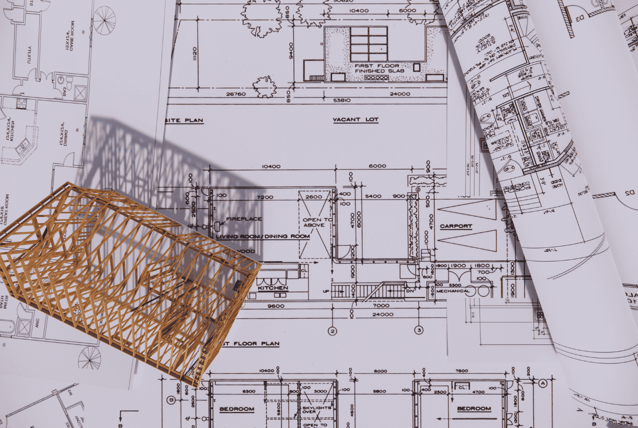
From 3D Scan Data to Accurate BIM, MEP & CAD Deliverables
AsProLine LLC converts high-accuracy survey and laser scanning data into practical digital models and drawings for design, engineering and construction workflows.
Using detailed point cloud data captured on site, we can support the creation of accurate BIM models, MEP references and CAD drawings that reflect existing conditions.
This process helps architects, engineers and contractors work with reliable digital information when planning renovations, coordination, documentation or future development.
What We Provide
- Point cloud processing
- Scan to BIM support
- MEP reference modeling
- CAD drawing preparation
- Existing-condition digital documentation
- Survey data for design coordination
Why Accurate Surveying Matters
Accurate digital models and drawings improve coordination, reduce measurement errors and give project teams a dependable representation of existing site conditions.